-40%
Kappa Maps United States Wall Map on Roller with Backboard
$ 108.22
- Description
- Size Guide
Description
School SpecialtyVisit Our Store
About Us
Contact Us
Signup for our Newsletter
Kappa Maps United States Wall Map on Roller with Backboard
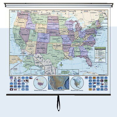
The Kappa Maps United States Wall Map, measuring 64 x 54 inches, helps the students to easily identify political boundaries and national capitals. Landforms are also included and identified by shaded relief. Laminated map for all grades is multi-colored and is mounted on a spring rollers with backboard making it perfect for classroom use. Made in USA.
Students can easily identify political boundaries and national capitals
Landforms are identified by grey shading
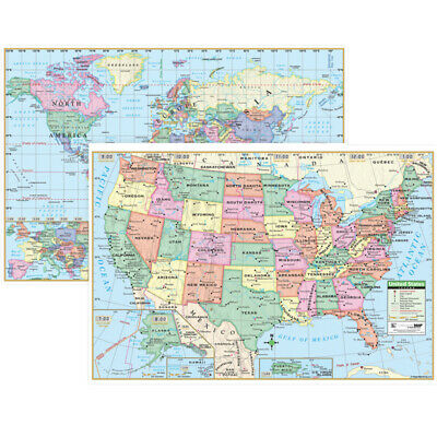
US edition identifies state borders, capitals, time zones and features insets of Alaska, Puerto Rico and Hawaii, along with a physical inset map of the US
Images of all 50 state flags are shown, along with a locator map showing the country's location in North America
World edition includes national capitals and 193 Country flags
Mounted on spring roller with backboard
